|
|
Applies to: vehicles with navigation system and Audi connect (infotainment)
You can have the navigation map shown with satellite images.
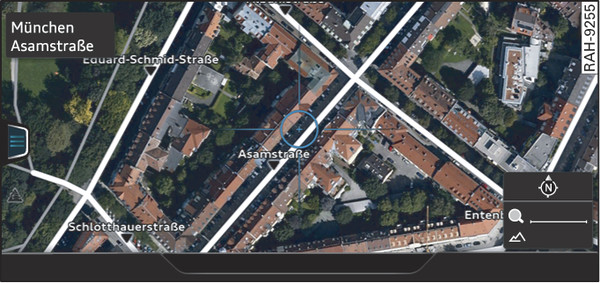
- Fig. 226 Example: satellite map
Important: The requirements for Audi connect (infotainment) must be met link►.
Press the NAV/MAP button repeatedly until the map is displayed.
For this map display the system uses data packets received online in the form of satellite pictures and combines these pictures with the road network from the Standard map display. The MMI has a memory capacity of 2 GB for temporarily storing the map/navigation data received online (corresponds to map/navigation data for about 4000 km of route guidance). You can also use the loaded satellite pictures for route guidance without an active data connection as long as these pictures are stored.
Note
- You can delete the data stored by the satellite map2) by selecting Factory settings > Navigation and online memory link►.
- The satellite map2) is updated at regular intervals when it is called up. This can take a few seconds.
- When the satellite map2) is switched on and the position 3D map type is selected, the MMI display automatically switches to the position 2D map while you are driving through a tunnel.
- Please also observe the notes in the chapter link►.
- Further information can be found on the Internet at www.audi.com.